
- Science
- 5 de November de 2025
- No Comment
- 7 minutes read
The geological tale of El Hierro
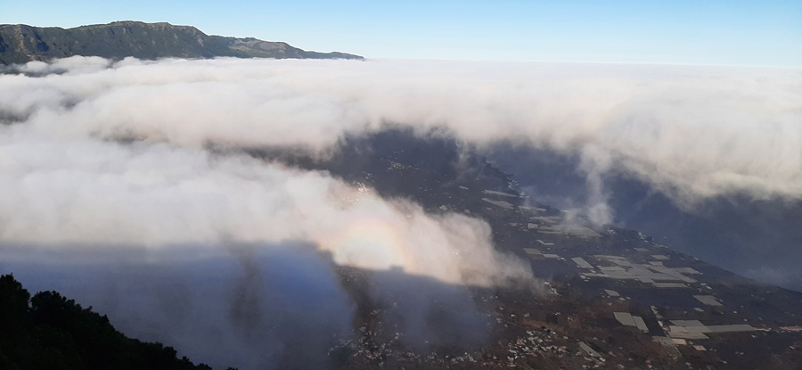
El Hierro. / Photo: David Rabadà

To understand the volcanic story of El Hierro, it is essential to see it within the broader context of the Canary Islands. The archipelago is thought to have formed above a mantle hotspot, over which a slowly drifting lithospheric plate (moving at just 1.2–2.5 cm per year) rides atop a thick lithosphere about 15 km thick. This combination of slow plate motion and thick lithosphere has produced relatively few emergent islands, spaced irregularly—quite different from Hawaii, where a faster plate and thinner lithosphere create many, closely aligned islands (AEPECT Journal, 27-3, June 2019). In both the Canary and Hawaiian archipelagos, the typical evolutionary sequence of an island follows several stages: 1) Submarine volcanism over the hotspot (e.g., the Basal Complex of La Gomera); 2) Subaerial tholeiitic–alkaline shield formation, during which a Y-shaped rift develops, promoting massive flank collapses (e.g., El Hierro in the Pleistocene; La Gomera in the Miocene), followed by new eruptions over earlier deposits and the progressive generation of increasingly differentiated magmas via the formation of a magma chamber; 3) Erosive hiatus, as the island drifts away from the hotspot (e.g., present-day El Hierro and La Gomera); 4) Volcanic rejuvenation when the island traverses extensional fault fields connected to the mantle plume, producing alkaline eruptions and more differentiated magmas where the lithosphere is thick (e.g., Tenerife today); 5) Progressive erosion and reduction of topographic relief (e.g., Lanzarote and Fuerteventura).
With this framework, we can now contextualise the volcanic phases of El Hierro.
The Tiñor Phase
El Hierro began as a modest shield volcano, now mostly eroded and reshaped by giant flank collapses. Much of the original rock, however, was later buried by successive eruptions. The volcanic core lay in the south of the island, producing mainly basalts—picrites and tephrites—through gentle, low-explosivity eruptions. Magmas were still primitive, with no fully developed magma chamber to store differentiated material. This phase occurred between 1.12 and 0.88 million years ago, during the era of Homo erectus.
Around 800,000 years ago, more violent eruptions formed the Ventejís volcanic group, sending mafic xenolith-rich lavas towards Valverde and the eastern coast. Soon after, the north-western flank collapsed in a massive landslide, leaving a caldera. Today, remnants of these deposits can be seen in the north-eastern cliffs formed by these enormous collapses.
As magma pushed upward beneath the island, the surface expanded, creating Y-shaped fractures at roughly 120° angles. Along these fractures, events unfolded that were first studied in Hawaii and later in the Canary Islands. These fracture surfaces facilitated an unprecedented event of enormous scale. Between 0.8 and 0.54 million years ago, the northern part of the island sank beneath the sea, leaving its remains on the seafloor. The collapse plane followed the island’s Y-shaped fractures. Later, the process repeated twice more in Las Playas: first between 0.54 and 0.17 million years ago, and then between 0.17 and 0.14 million years ago.
The El Golfo Phase
Within the Tiñor landslide depression, a new circular shield grew, today largely eroded. Further eruptions triggered additional massive landslides, while later lava flows buried earlier deposits. This shield formed between 0.54 and 0.17 million years ago, the time when Homo sapiens was emerging in Africa. Eruptions ranged from nephelinites to trachytes, with moderate explosivity, reflecting magmas that had already started to differentiate in a deep-seated magma chamber, more than 14 km below the surface.
The cliffs to the north and north-west still show remnants of this shield, displaced by giant landslides. These deposits collapsed between approximately 0.17 and 0.14 million years ago in the south-east of the island, submerging a large portion of the territory beneath the sea. However, this landslide was not the only one: around 0.158 million years ago, another occurred in the north, sinking nearly a third of the island. Such processes are well known in Hawaii under the term pali. They result from the growth of the island through successive eruptions, which create extremely unstable slopes prone to the collapse of vast sections comparable in size to provinces.
The Malpaso Vulcanian Explosion
Although El Hierro’s volcanism is generally characterised by low-explosivity eruptions, a catastrophic exception was recently identified. A base-surge pyroclastic flow deposited up to 80 cm of pumice and trachyte over an area of roughly 13 km². This explosive “base-surge” event resulted from the ascent of highly viscous magma that could not flow freely, leading to sudden collapse from elevated positions. The vent was located near Monte Tanganasoga, and particle sizes decreased progressively from volcanic breccias to fine suspended ash. The event has been dated to approximately 176,000 years ago, though alternative ages of 8,600 years have been proposed.
Post-Shield Eruptions
After the last major shield, numerous smaller eruptions have shaped El Hierro’s highlands over the past 100,000 years. Flank collapses allowed magma to rise more easily. Strombolian eruptions, moderately explosive, occurred less frequently than on La Palma or Tenerife. Exceptionally, explosivity increased when magma interacted with aquifers. These volcanoes are typically located along ridges, producing basaltic fissure eruptions, basanites, and tephrites, which now cover almost the entire island.
Final Eruptions
About 20,000 years ago, small monogenetic cones erupted explosively over a few weeks, scattered across the island but concentrated along Y-shaped rift faults. Subsequent island growth destabilised the slopes once more, and between 20,000 and 15,000 years ago another major northern landslide submerged a quarter of the island. Successive collapses have shaped El Hierro’s current Y-shaped morphology. Today, the island’s magma chamber lies beneath the northern sector, under El Golfo Bay.
In summary, El Hierro’s geological history reflects a cycle of construction and destruction. Three recurrent phases characterise this cycle: first, island growth via repeated volcanic eruptions; second, progressive slope instability leading to giant flank collapses along rift fractures; and third, renewed eruptions triggered by decompression, filling collapse scarps and re-establishing unstable slopes.
Source: educational EVIDENCE
Rights: Creative Commons